
Enhance.AI
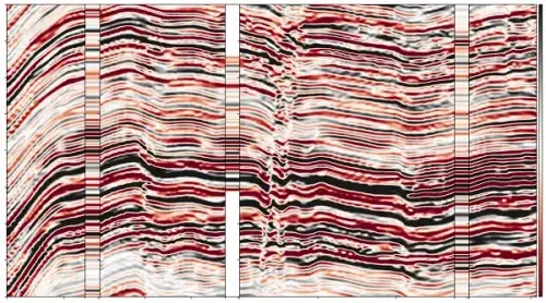
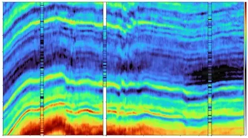
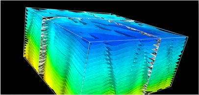
Jittery amplitudes and ambiguous fault interpreation
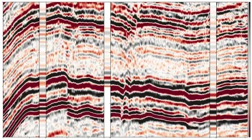
Jittery amplitudes and ambiguous fault interpreation
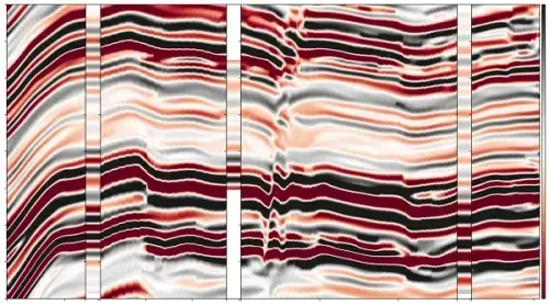
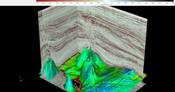
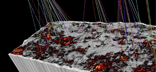
Structural & Stratigraphic Enhancement
Improvement over limitations of conventual smoothening & filtering algorithms
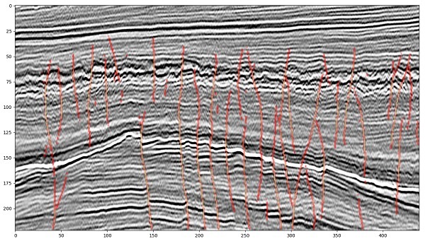
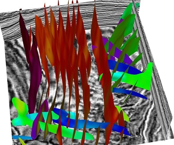
- Enhances structural features
- Make faults sharper
- Enhances channels.
- Handle noise & amplitude distortions robustly.